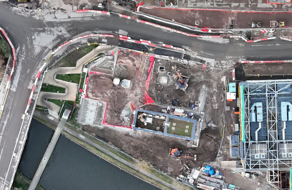
Construction & Development
- Advantages: Fast site mapping & progress tracking, accurate earthwork volumes (cut/fill), stockpile monitoring, reduced downtime, better planning with 3D models.
- Cloud benefit: Teams import plans, annotate remotely, collaborate without expensive soft- or hardware.
- Orbiting aerial footage of the site for marketing | Compliance
- Ground Penetrating Radar: In addition to our in-house RTK drone surveying, we collaborate with trusted GPR specialists for seamless ground penetrating radar services when needed. We don't own the equipment or hold the expertise in-house, but our reliable partners ensure high-quality, compliant results for a complete project solution.
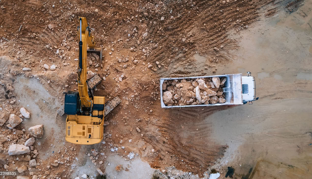
Quarrying & Aggregates
- Advantages: Precise stockpile volume calculations, topographic mapping, blast area measuring, safety (no need to walk unstable piles), compliance & Golden Record, efficiency (survey in minutes vs. days).
- Cloud: Multiple users access data for inventory/planning.
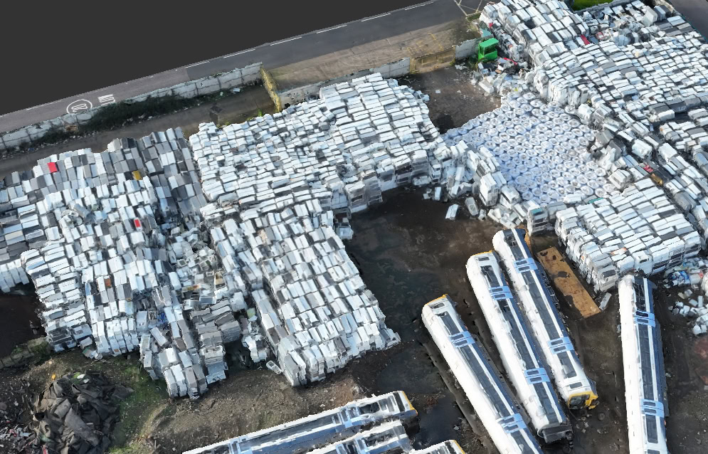
Scrap Metal & Recycling Yards
- Advantages: Inventory mapping & volume estimation, site layout optimisation, safety (avoid hazardous areas), accurate material quantification.
- Cloud: Share reports with buyers/teams for better pricing/decisions.